SimStad
Contributors








Funding


Initiatives


Overview
SimStad is a multipart project with an overall goal of collecting and visualizing data of cities for city maintainance and planning, and public outreach.
Classification using deep learning
Municipals spend a lot of time and resources each year collecting data from their cities. By using deep learning semantic segmentation (AI), some of this data can automatically be converted into GIS-data (Geographic Information System), leaving more time and resources for other work.
Image enhancement
The quality of drone and aircraft photos is not always enough. By using deep learning, images from drones and aircrafts can be improved by for example increasing the resolution, removing certain objects, or removing shadows.
Exhibition at Norrköping Visualization Center C
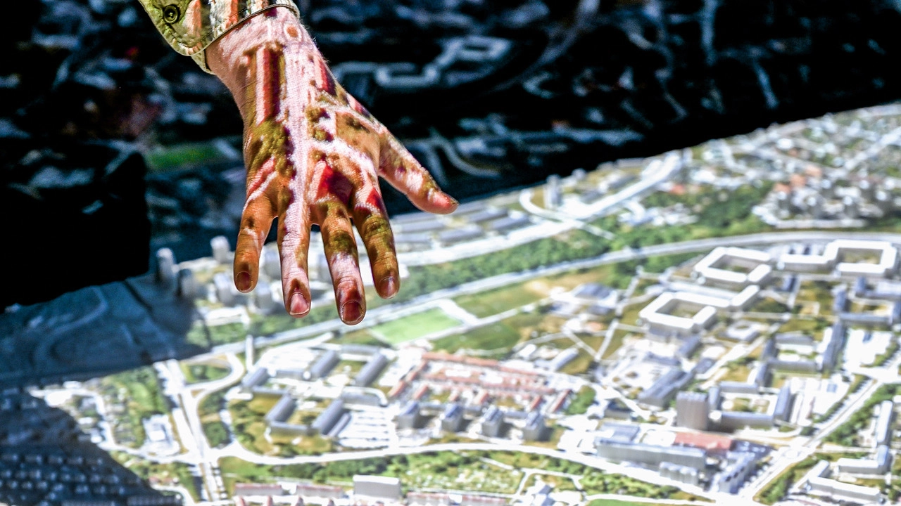
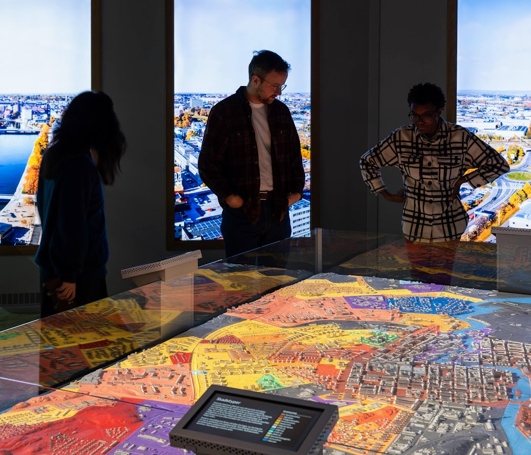
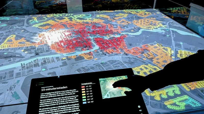
A large 3D-print of Norrköping has been created as a part of a the Visual City exhibit at Visualization Center C. Projectors can show various datasets on the 3D-model, such as flooding risks and noise levels in the city.
Guides
Spaces
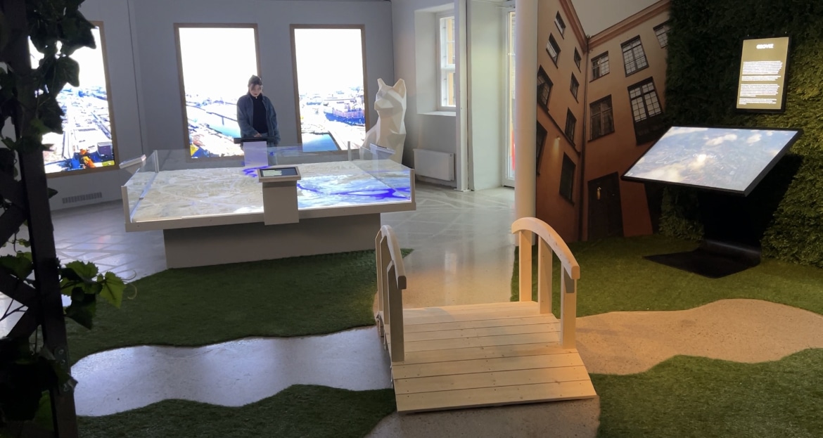
Visual City
2023
An interactive lab at Visualiseringscenter C showcasing urban development through AI, computer vision, and a digital twin of Norrköping.
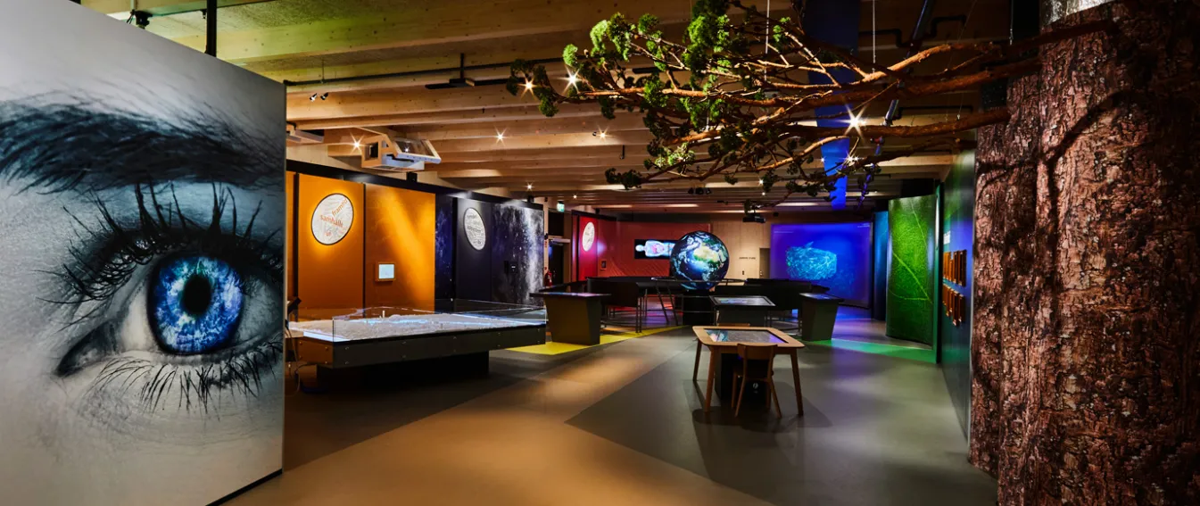
VisLab
2022
An interactive visualization laboratory at Universeum in Gothenburg, allowing visitors to explore real scientific data regarding climate, ecosystems, and human anatomy.